![Hakim Abel Ben Youcef [hakeem b]](https://cdn.myportfolio.com/1f855abf-df84-4b64-a12d-73b1feee5327/6b1841d7-6787-4df3-b0ff-cf9f572f5cbc_rwc_0x95x266x60x4096.png?h=ef8c5549792c4d50894c7f36c7936ff8)
Forewords:
Most of the time, we observe conflicts with our eyes fixed on what is happening around us. The images are often the same: violence, sensationalism...
—
The installation:
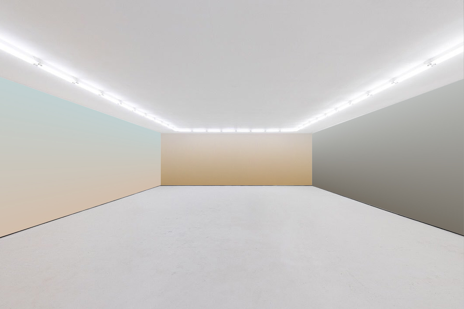
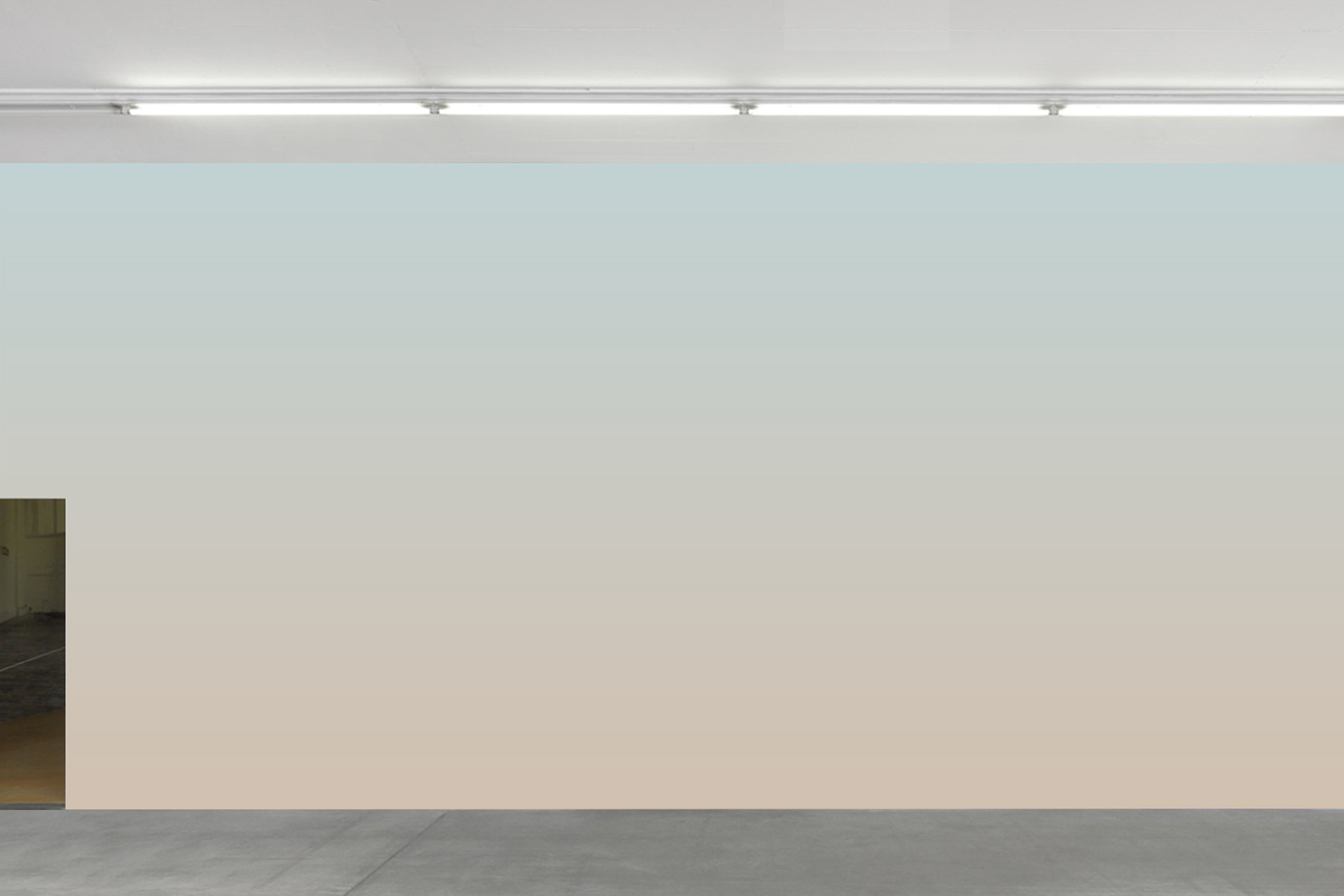
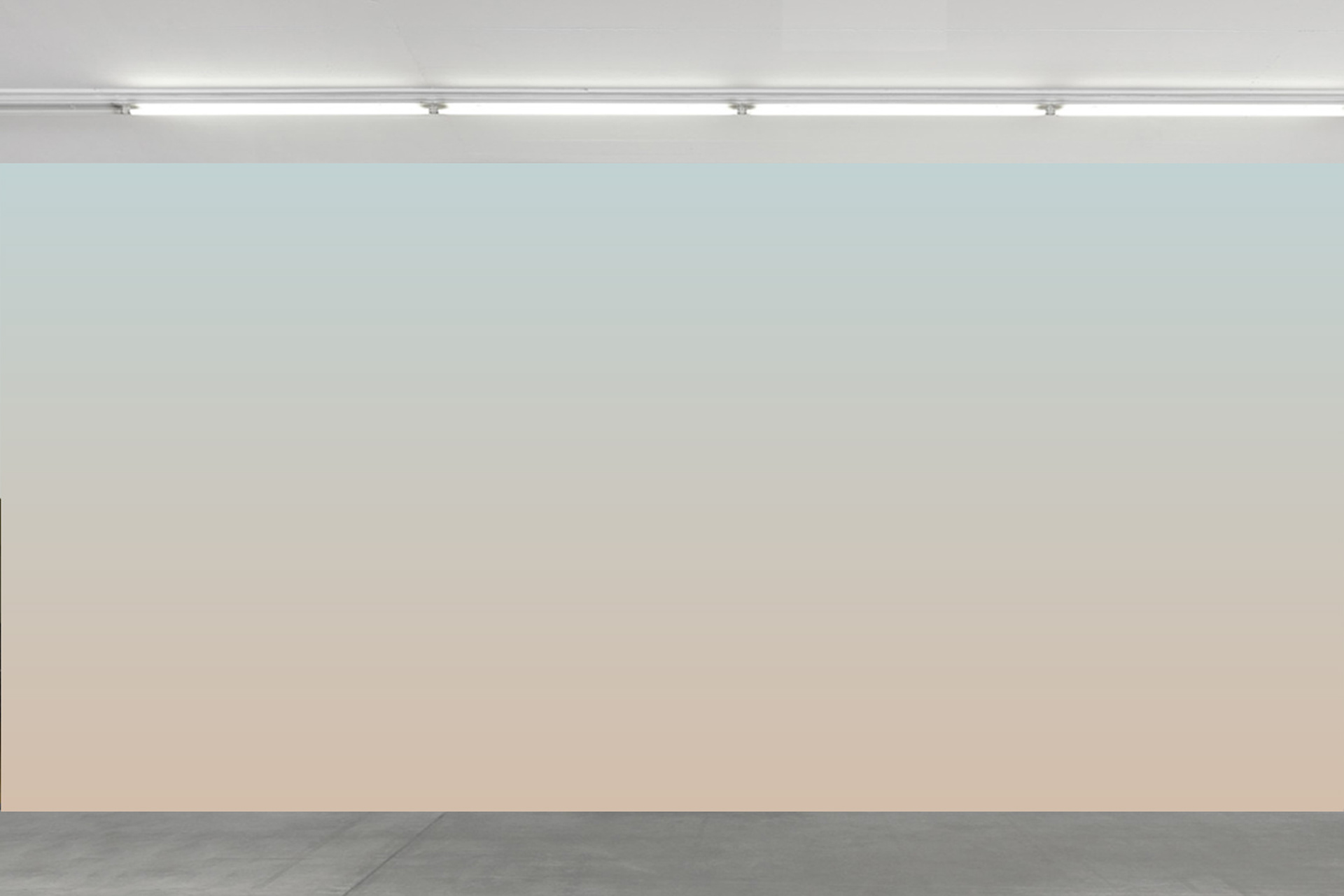
"Skies of War" highlights war in the form of abstract aesthetics symbolized here by gradients of colors.
—
The process:
I use programming and Google Maps to identify in real-time the color of the sky in cities such as Gaza, Islamabad, or Kinshasa (...). These cities in Africa and the Middle East are the target of violent conflicts, some of which have lasted for decades. An installation that summons the beautiful to violence, the transcendent to the imminent.
Most of the time, we observe conflicts with our eyes fixed on what is happening around us. The images are often the same: violence, sensationalism...
—
The installation:
"Skies of War" highlights war in the form of abstract aesthetics symbolized here by gradients of colors.
—
The process:
I use programming and Google Maps to identify in real-time the color of the sky in cities such as Gaza, Islamabad, or Kinshasa (...). These cities in Africa and the Middle East are the target of violent conflicts, some of which have lasted for decades. An installation that summons the beautiful to violence, the transcendent to the imminent.

Mopti
Latitude: 14° 29' 59.99" N
Longitude: -4° 11' 60.00" W

Gaza
Latitude: 31°30'0"N
Longitude: N 34°28'0.01" E

Darfour
Latitude: 14° 22' 41.789" N
Longitude: 24° 54' 15.195" E

Bangui
Latitude: 4° 22' 0.001" N
Longitude: 34' 59.999" E

Bagdad
Latitude: 33° 19' 30" N
Longitude: 44° 25' 19.2" E

Al-Raqqa
latitude: 35° 57' 33.878" N
longitude: 38° 59' 53.179" E
"Skies of war"
-
Computer program: Hakim Abel Ben Youcef
Tools: P5.js & Google-map
Art medium: Wall paintings
Not for Sale
©hakeem b 2022